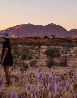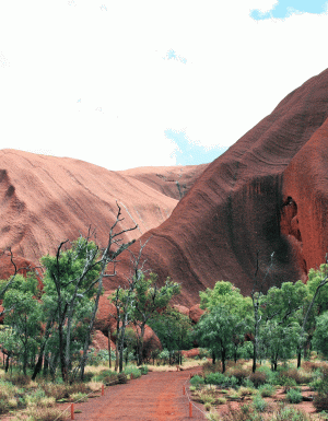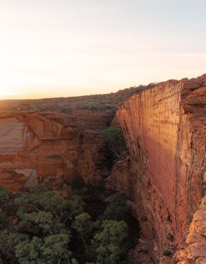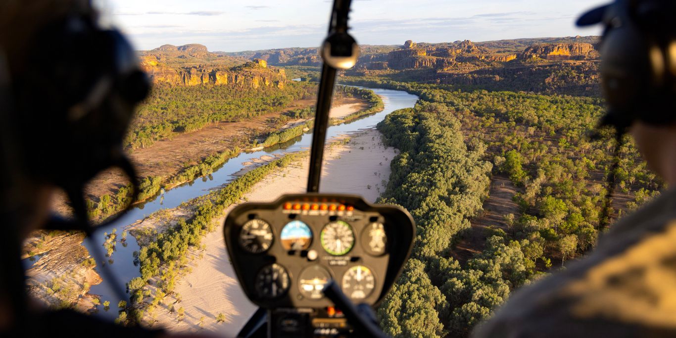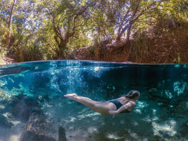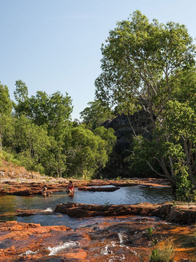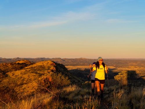
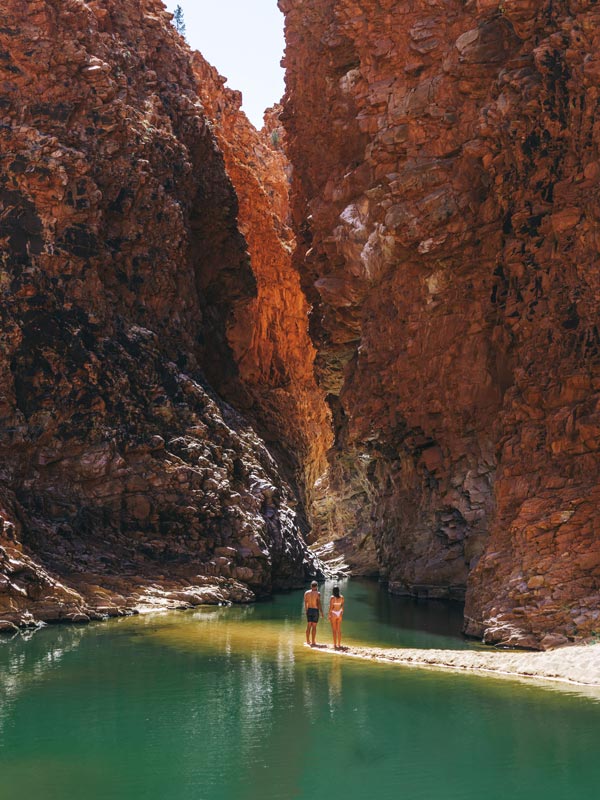
The epic Larapinta Trail boasts sheer walls of vivid red rock, wild swimming holes, spindly ghost gums, and sapphire skies – and the potential to ground us and revive the soul.
Once all the blisters, aching shoulders and mild heatstroke are forgotten you’ll most likely describe The Larapinta Trail hike as one of Australia’s most spectacular experiences.
Cutting through the red desert rocks and valleys of Tjoritja/West MacDonnell National Park just outside Alice Springs, the 231-kilometre hike is achingly stunning – and achingly brutal. Only serious hikers only should embark on the entire length independently, while for the less experienced walkers several operators offer shorter supported walks. Here’s everything you need to know about walking the Larapinta Trail.
Larapinta Trail Sections
To complete the entire trek, which is divided into 12 sections, plan on a minimum of 12 days. Add on extra days if you want to include side trips that are not officially part of the Larapinta Trail or if you feel like chilling at the campsites and shooting the breeze.
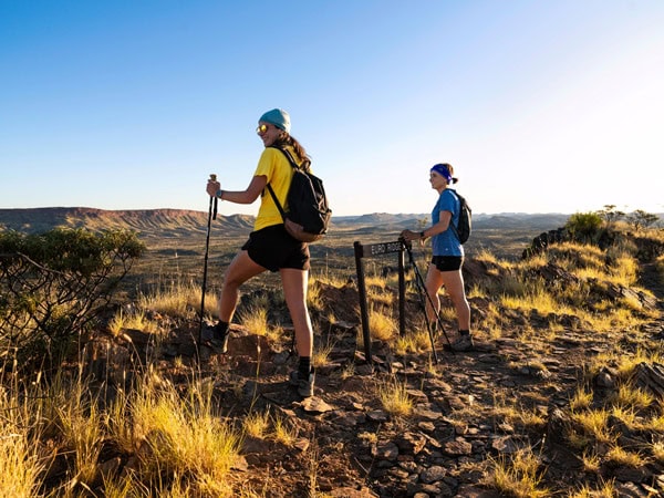
You can walk in either direction – kicking off from the Alice Springs Telegraph Station or at Mt Sonder, which is accessed via Redbank Gorge, 156-kilometre west of Alice Springs along Larapinta and Namatjira Drive. It can be tricky to pinpoint the exact time you’ll arrive at Mt Sonder for your transfer back to Alice Springs, so many hikers choose to start at Mt Sonder and stroll into Alice Springs.
To get a taster of the trail you can complete just one or two sections, either as day trips or as overnight camping adventures. If you can only hike for a day, the blockbusters of the trail include Simpsons Gap, Ellery Creek Big Hole, Ormiston Gorge, Serpentine Gorge, and Redback Gorge – all accessible by road. Section 10, from Ormiston Gorge to Finke River is the shortest at about nine kilometres or four hours, while the most spectacular is section 5, a tough but beautiful 16 kilometres or 10-hour hike from Birthday Waterhole to Hugh Gorge.
To walk the Larapinta Trail overnight, walking trail fees apply and you must pay camping fees via NT Parks before you set off.
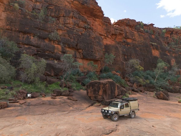
Section 1 – Telegraph Station to Simpsons Gap
Welcome to the first day – a huge 23.8-kilometre jaunt from the Alice Springs Telegraph Station to Simpsons Gap over an undulating and open country that features creeks and gullies. The first hours of this nine-hour day hike might test your resilience as you move through witchetty bush, mulga scrub, and bird-filled shady woodlands.
Push on and you will be rewarded with spectacular views from the jagged outcrop of Euro Ridge. From here descend to the passage of Wallaby Gap – a good halfway rest point. Re-energised after lunch you’ll cruise through a relatively easy section as you walk towards the stunning Simpsons Gap.
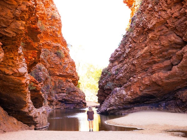
Section 2 – Simpsons Gap to Jay Creek
Buckle in for another enormous day. Navigating the 25-kilometre track of mostly flat and undulating terrain through scrubland will take you about eight hours. It is a comfortable but long walk. Once you’ve passed Mulga Camp you will cross a ridgeline with awesome panoramic views of Mount Lloyd.
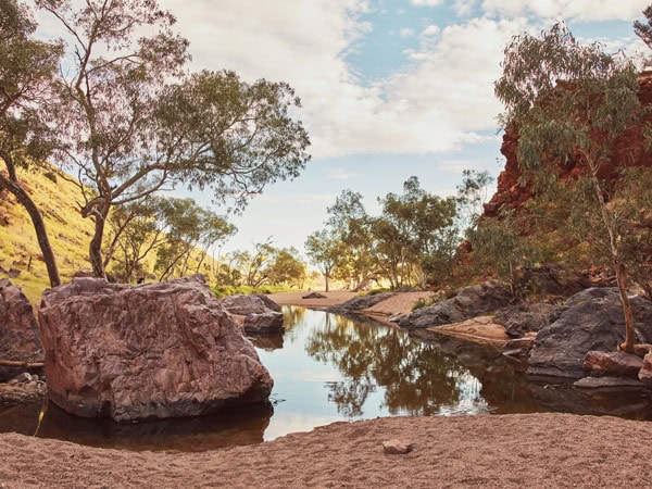
From here, it’s another one hour to reach Spring Gap, a charming retreat, especially when its waterholes are brimming after some decent rain. Your destination for the night is Jay Creek, which you will reach after meandering between mulgas and river red gums through a tranquil landscape. Pitch your tent next to pretty Jay Creek or under the large modern shelter, which has two tent pads.
Section 3 – Jay Creek to Standley Chasm
While section 3 is shorter than the first two sections at a mere 13.6 kilometres, it involves lots of hill climbs and a scramble over a five-metre rock walk. The reward? Magnificent scenery. When tackling section 3, you have two paths to choose from: the challenging route and the less demanding one. Opting for the high route might be tougher with its steep climbs and descents, but it pays off with stunning vistas.
On the other hand, the low route might be easier on the legs as it winds through rocky gorges and creek beds. As you get closer to the privately owned Standley Chasm (which is owned and operated by the local Arrernte community) you will encounter tourists on day walks. To camp here. you’ll need to book with Standley Chasm, which offers a food drop zone and a kiosk serving freshly cooked meals.
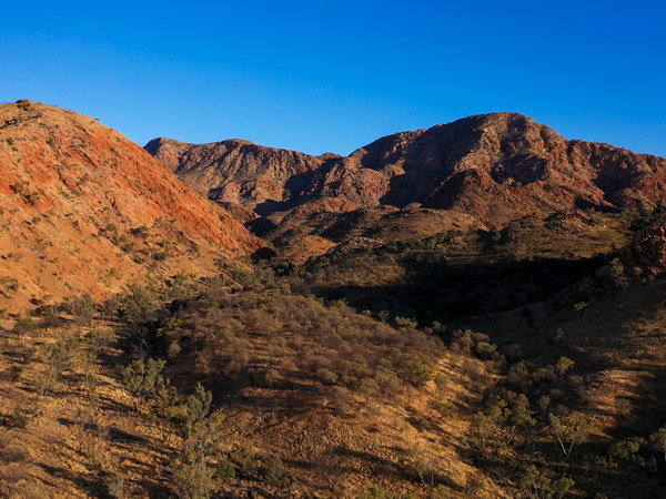
Section 4 – Standley Chasm to Birthday Waterhole
If you haven’t been tested enough already, here comes section 4 – a 10-kilometre walk with a steep 560-metre climb to Brinkley Bluff. Packing a full load of food from your first supply drop at Standley Chasm and carrying extra water for camping at the summit only adds to the challenge.
After nearly four hours of navigating through stunning vistas and traversing rocky terrain with some sections requiring both hands and feet, you’ll reach the top of Brinkley Bluff, greeted by breathtaking 360-degree views.
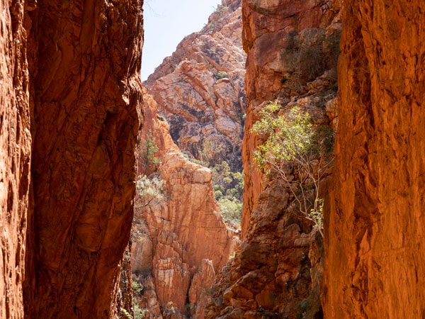
If you’re running low on phone battery from here the track zig zags its way down from Brinkley Bluff towards Stuarts Pass and onwards to section 4/5 Junction, where there is a USB charging point. Another 30 minutes on and you arrive at Birthday Waterhole, where you can camp on the sandy banks and wake up to water views.
Need tips, more detail or itinerary ideas tailored to you? Ask AT.
AI Prompt
Section 5 – Birthday Waterhole to Hugh Gorge
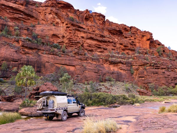
The 16km section 5 is known for being one of the most unique and spectacular sections of the trail. Get ready for a challenging day of rock hopping along gorges and an ascent and descent on the aptly named Razorback Ridge. This ten-hour hike involves lots of slow, deliberate foot placement, clambering over boulders and navigating narrow ridgetop paths, but you will be rewarded with spectacular views of immense walls of red rock and tranquil waterholes.
From Razorback Ridge the trail continues down to the sheltered Fringe Lily Creek and follows the Linear Valley. You can choose to spend the night at the trailhead at Hugh Gorge, where there are toilets, or at Hugh Gorge Junction, a nice camp area with lots of flat, shady sites surrounded by dramatic cliffs.
Section 6 – Hugh Gorge to Ellery Creek
It is best to set the alarm clock to set off from Hugh Gorge on section 6, the longest day distance-wise at 31.2 kilometres. While it will take about 11 hours to complete, the relatively forgiving gradient makes it bearable.
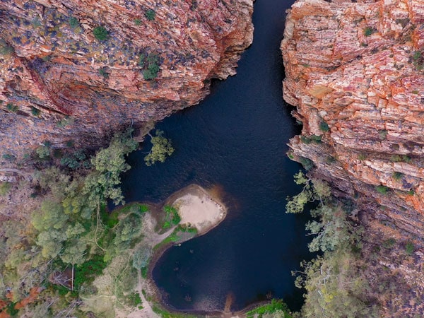
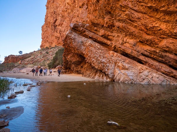
The walk takes you to the gorgeous and popular Ellery Creek Big Hole. You can choose to camp at Ellery Creek South or at the quieter Ellery Creek North, which has toilets, USB charging points, and drinking water.
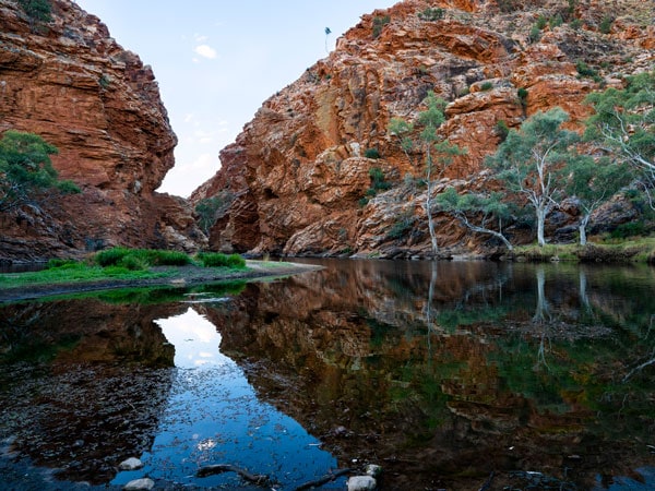
Section 7 – Ellery Creek to Serpentine Gorge
After a refreshing swim, you can cruise off on the gently undulating terrain of this 13.8-kilometre section, which can be traversed in just five hours. Admire the wildflowers and birds with the early morning sun on your back as you walk towards your destination, Serpentine Gorge.
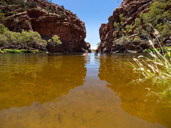
This pretty waterhole is a lot smaller than Ellery Creek Big Hole or Ormiston but what adds to its appeal is the view from the Serpentine Gorge Lookout. Serpentine Gorge has one of the best campsites – it is beautifully set among the trees with a backdrop of the gorge.
Section 8 – Serpentine Gorge to Serpentine Chalet Dam
After a bath in Serpentine Gorge, it is time to hit section 8 – a fantastic scenic walk where you will be skimming along a five-kilometre rocky ridgeline until you reach Counts Point lookout, the perfect little lunch spot. From here you have clear views of Central Australia’s western horizon to Mt Zeil and Mt Sonder and the huge comet crater of Gosse Bluff. Once you’ve descended from the high ridgetop through stands of mulga trees you will eventually land at Serpentine Chalet Dam. From here you can walk to see a dam wall and ruins of an early tourism venture.
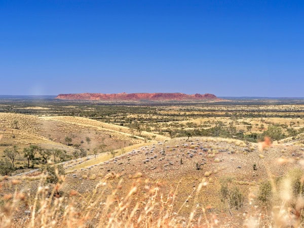
Section 9 – Serpentine Chalet Dam to Ormiston Gorge
Set your alarm on this day as section 9 is a long walk at 28.6 kilometres, featuring several rocky and loose ascents and descents, particularly from Waterfall Gorge to the Mt Giles Lookout. A highlight is the magnificent Inarlanga (Echidna) Pass, a high-walled, narrow gorge through the Heavitree Range. From Ormiston Gorge, if you feel like you need a bit more exercise, from Ormiston Gorge you can strike out on the seven-kilometre Ormiston Pound Walk, which is not part of the Larapinta Trail but is one of the best day walks of the West Macs.
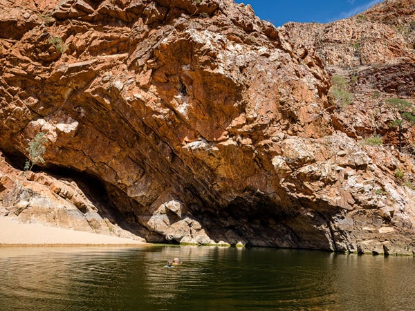
Upon summiting the lookout, you will have a bird’s eye view of the pound’s bowl-like structure and see how the vibrant colours of the desert mix in with the soft pastel mauves of an Albert Namitjira painting. The circuit ends by leading you through the chilly waters of Ormiston Gorge and back to the hubbub of the campground and kiosk.
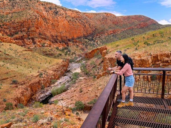
Section 10 – Ormiston Gorge to Finke River
Wake up with a swim at Ormiston Gorge and hit the trail along section 10, which at just 9.1 kilometres is the shortest of Larapinta’s 12 sections.
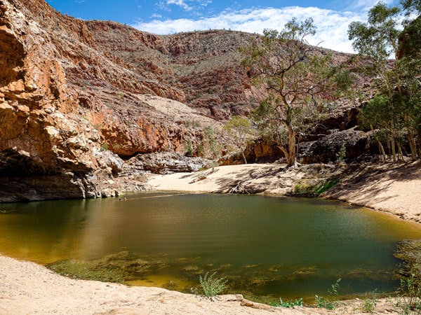
Climb up to Hilltop Lookout for lunch and then continue onwards as the trail flattens out a little. At the end of the day slide into the cool, calm waters of the Finke River, one of the world’s oldest rivers.
Weekly travel news, experiences
insider tips, offers, and more.
Section 11 – Finke River to Redbank Gorge
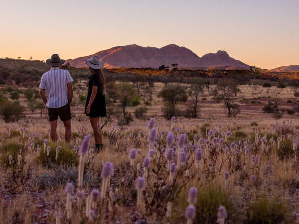
Set your alarm again as you’re in for a huge day with 26.3 kilometres to cover on this scenic walk. The first section goes across spinifex-covered hills with a stunning backdrop of Mt Sonder. It then crosses the Davenport River and climbs to a hilltop lookout. Your destination is Redbank Gorge, a lovely, deep gorge to swim in with extremely cold water.
Section 12 – Redbank Gorge to Mount Sonder
Today, after 12 incredible days of walking it’s time to meet Mt Sonder, the official end and highest point of the Larapinta Trail.
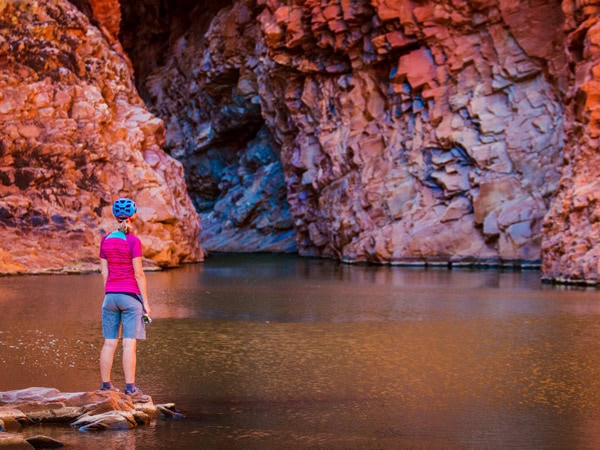
Expect a huge physical workout as you climb 1,380 metres above sea level to soak up the expansive views across the entire landscape you have travelled.
From here descend and celebrate with another swim at Redbank Gorge.
Larapinta Trail Tours
Several tour companies provide fully guided tours with all meals and accommodation in semi-permanent or permanent base camps as part of their itineraries, which range in length from three to 16 days. Think striking out each day with just a day pack to carry and a guide brimming with local knowledge and arriving each night at fully set-up camps with dining tables and three-course dinners.
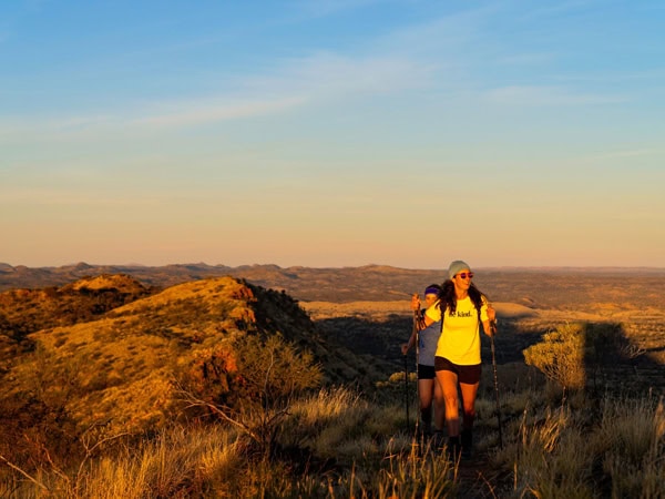
Larapinta Trail Walk offers a wide range of treks from three to 16 days, including family-friendly walks, women-only hikes and treks for creative folks with a professional artist.
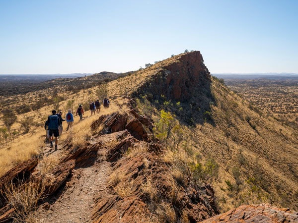
Trek Larapinta has three-to-16-day small group tours with a maximum of 10 trekkers. Their food is a standout with dishes such as laksa, barramundi and kangaroo steaks for dinner and even scones with jam and cream at the Mt Sonder summit.
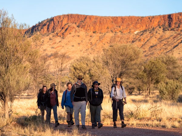
Walking Country, which has beautiful campsites with permanent safari tents, offers 5-day tours with a maximum of 15 people. The Indigenous-owned 100% Finke River Culture & Adventure has six- and nine-day walks that are led by Indigenous guides who share their knowledge from start to finish. Meals include some Indigenous-inspired creations, and they cater for vegetarians, vegans and celiacs.
Where to stay
You can bush camp along the full length of the Larapinta Trail at 34 designated campsites. Most campsites have picnic tables and tent sites, while some have toilets, gas barbecues, drinking water and USB charging points.
Where to eat
Independent trekkers must bring all their supplies. You can leave food in storage rooms at Ellery Creek South, Serpentine Gorge, and Ormiston Gorge before you set off or talk to one of the local companies offering food drops, such as Emu Run, Larapinta Trail Trek Support, and Outback Elite Tours.
When to go
The best time of year to go is during winter (May to August) when daytime temperatures are around 15-25C. However, nighttime temperatures can plummet, and daytime temperatures can climb high.
For more information read our outback survival guide and this Larapinta Trail safety information sheet. Want more Red Centre inspo? check out our guide here.
Want to see more stories from Australian Traveller in your Google search results?
- Click here to set Australian Traveller as a preferred source.
- Tick the box next to "Australian Traveller". That's it.